Herring Spawn Habitat:
Spatiotemporal analysis of historical spawning sites using satellite remote sensing
Project Contributors: Loïc Dallaire
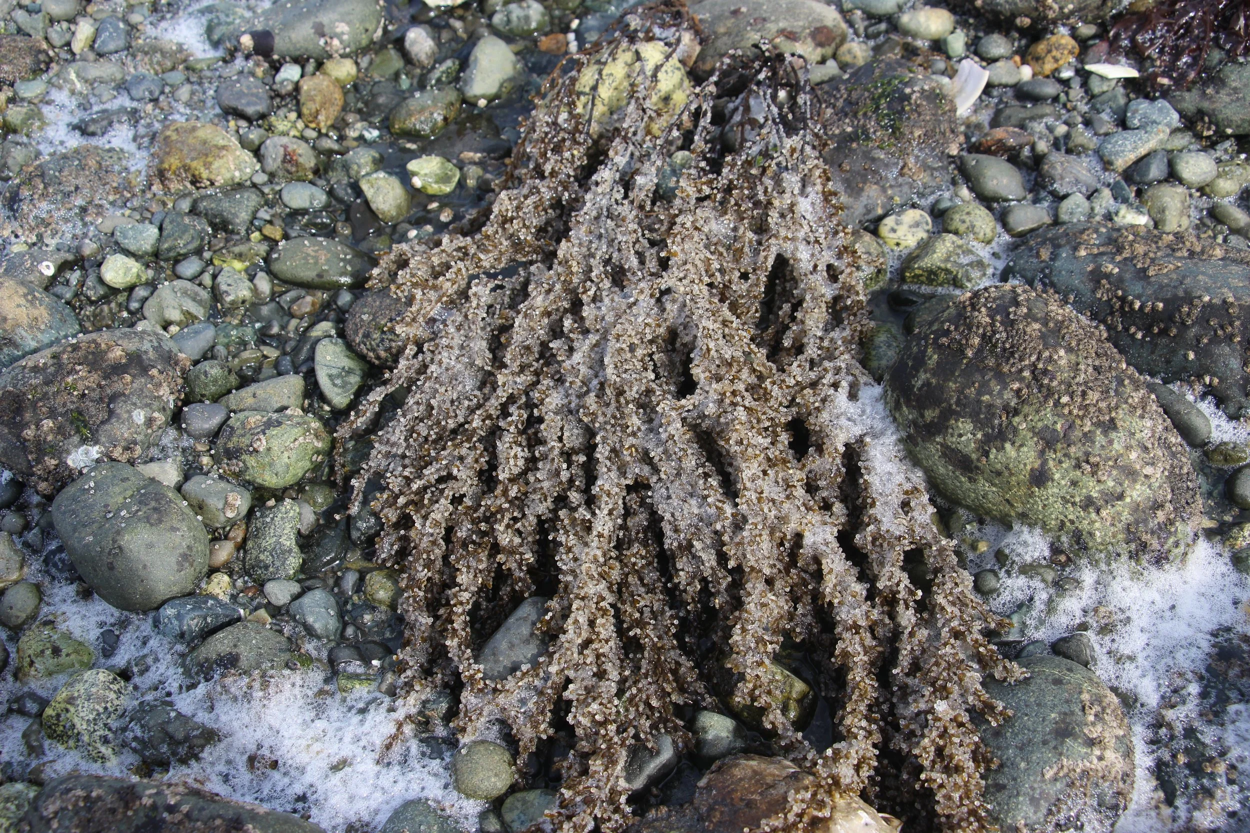
Spawn duration and distribution have decreased since the 1980s in the Strait of Georgia, with peak spawning now occurring around early March. Spatial spawn distribution has also shifted to be concentrated in the northwestern regions of the Strait of Georgia, whilst southern spawn sites have been abandoned for reasons unknown. Concerns about the actual state of the Pacific herring population have been raised by First Nations of the southern Salish Sea, sparking this large-scale research project in partnership with DFO.
The Spectral Lab is involved in this chapter of the global Salmon-Herring Interactions project in partnership with the Pacific Salmon Foundation. Using a combination of open access imagery, including Landsat 4 to 9 and Sentinel 2A-B, will allow the detection of spawning events in the Salish Sea since 1982 to present. It is expected that the use of satellite imagery will complement the actual map of known events by expanding the region of interest, both spatially and temporally.
Following the analysis part of this project, an interactive tool will be produced to help democratize the access to satellite imagery in the context of herring spawn, helping Nations surveying the presence of herring in their territory. This tool will use Google Earth Engine, a free platform allowing users to look at past and very recent (<24h) imagery.
Video about the general Salmon-Herring Interactions project: https://youtu.be/4aOEOkCrCe4
Video about Loïc’s part of the project: https://youtu.be/rHDlLZj9njs
Link to articles:


