Viewing entries in
MSc Alumni

Stephen Phillips

Project Coordinator, MSc Alumni

Project Coordinator
MSc. Geography
BSc. Geography
BSc. Physics

ContactMSc. Thesis | LinkedIn

Research Areas: remote sensing, ocean colour, algorithm development, optical equipment, spatial analysis, ocean dynamics.

Research Projects:

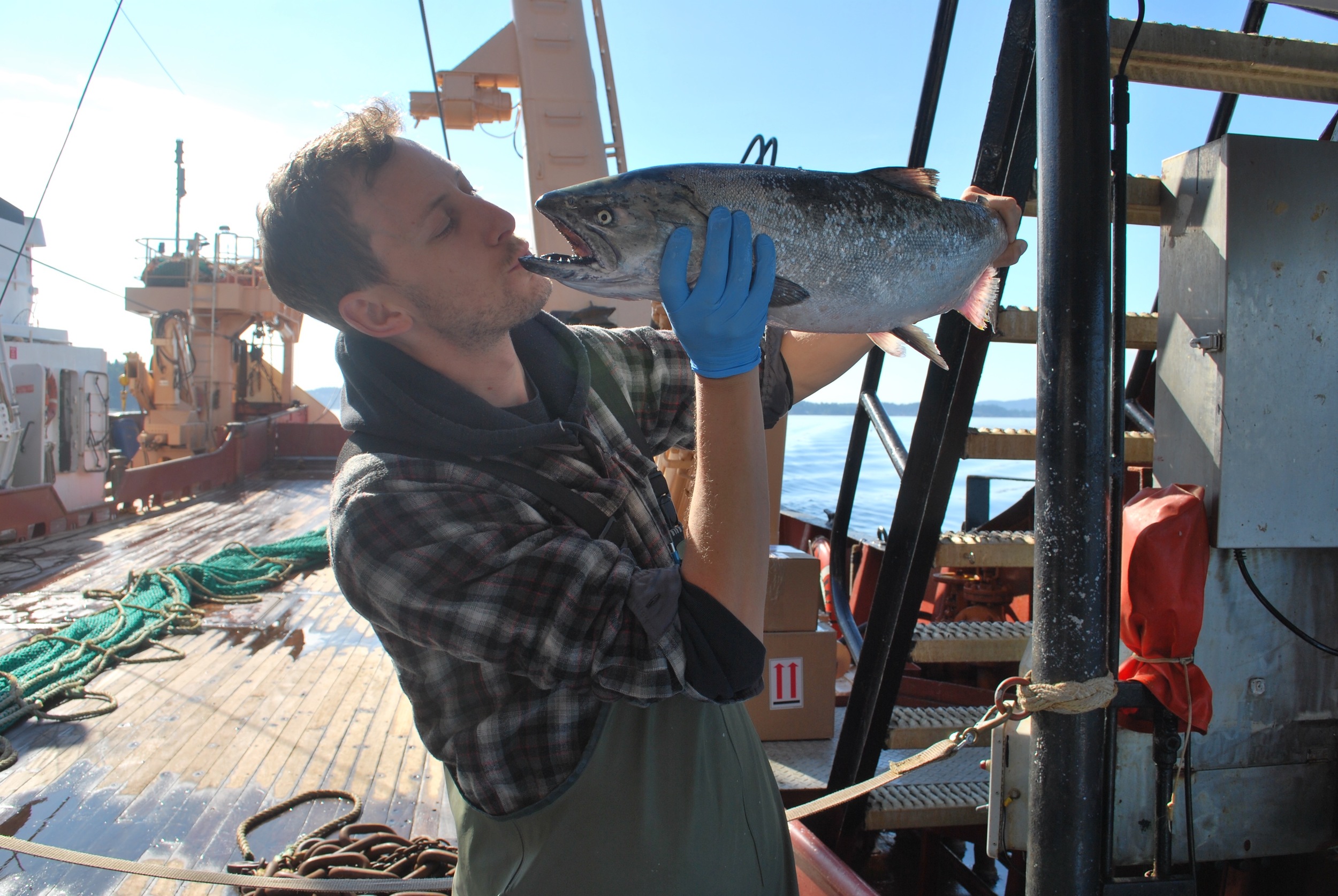
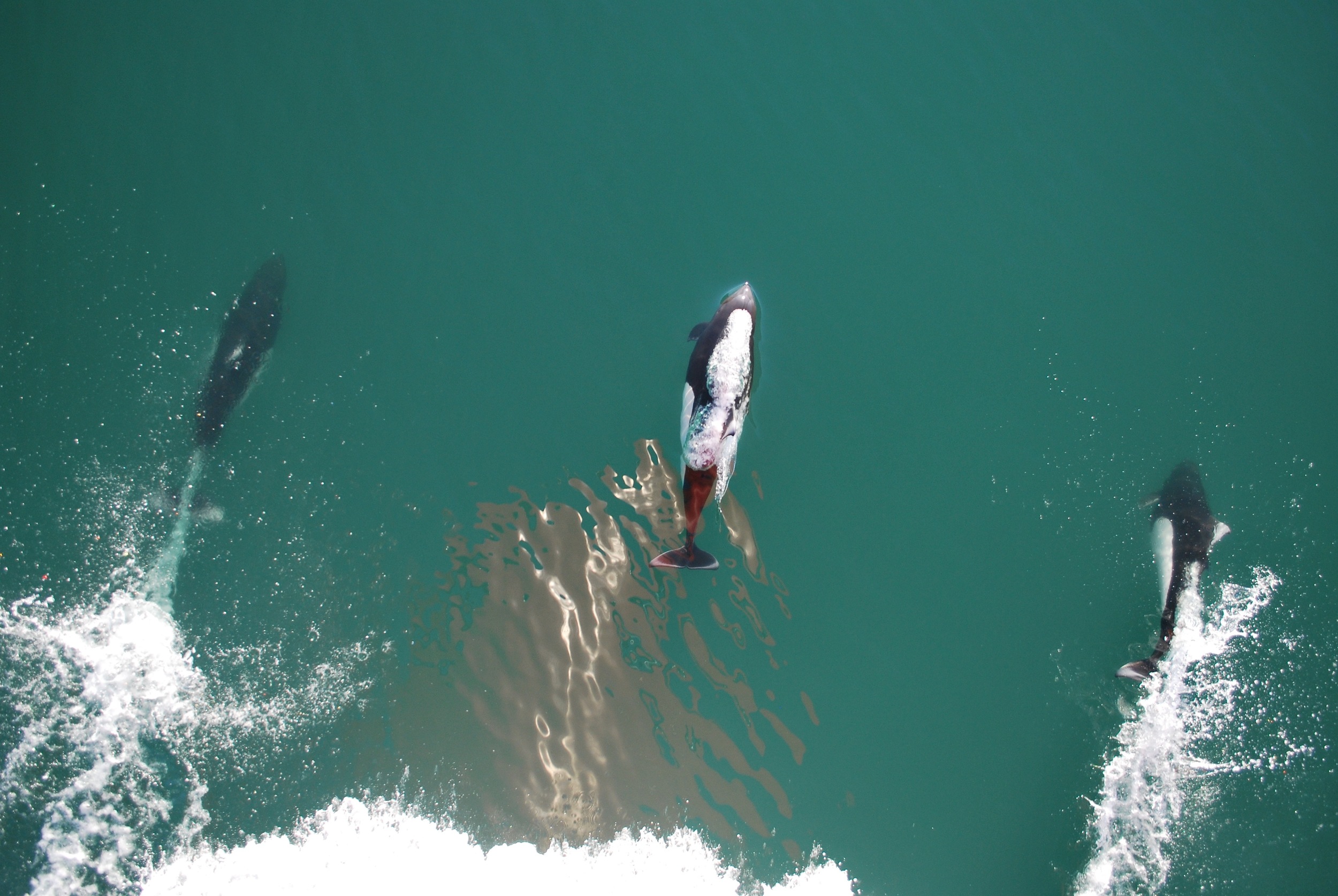
Salish Sea:  My graduate research project looked at the spatio-temporal optical and biogeochemical dynamics of the Salish Sea on the west coast of Canada.  Using an optical classification method I sub-regionalized the optical properties of this coastal region and used this information to parameterize satellite chlorophyll-a models with improved accuracy.  My project focused on the MODIS-Aqua and Sentinel-3 ocean colour sensors.  This outcomes of my research were to provide more accurate remotely sensed Chlorophyll-a data for an ecosystem based approach to effectively monitor the health of the Salish Sea.   

Amazon:  In the fall of 2014 I had the opportunity to be a project coordinator and researcher on the Cruizeiro do Sul, Research Cruise in Belém, Brazil.  This project focused on understanding the optical dynamics of the Amazon River Plume as it migrates out into the tropical Atlantic.  Using similar optical instrumentation and methods developed in the Salish Sea this was a great opportunity to apply and test my research in a new oceanic environment.  

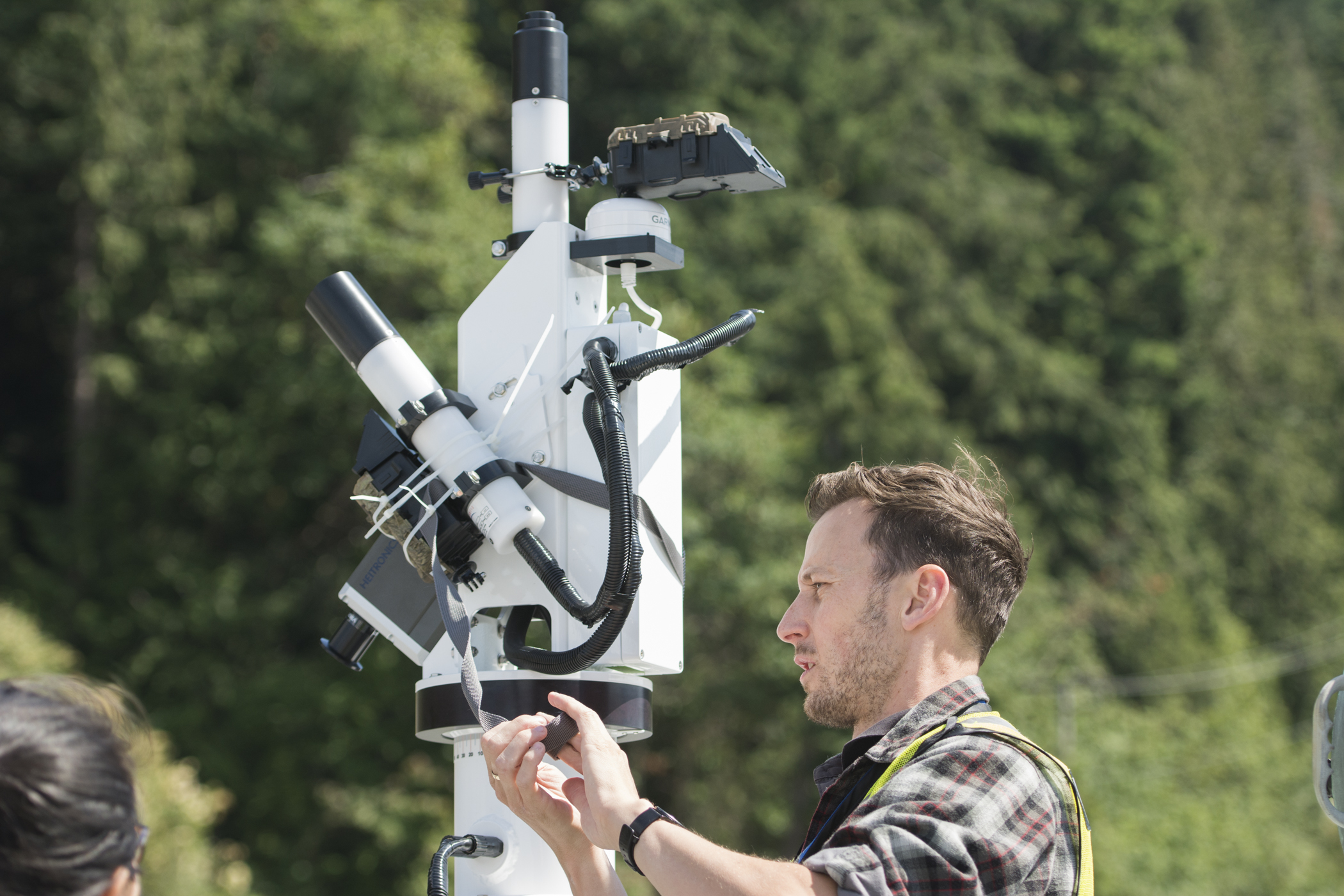
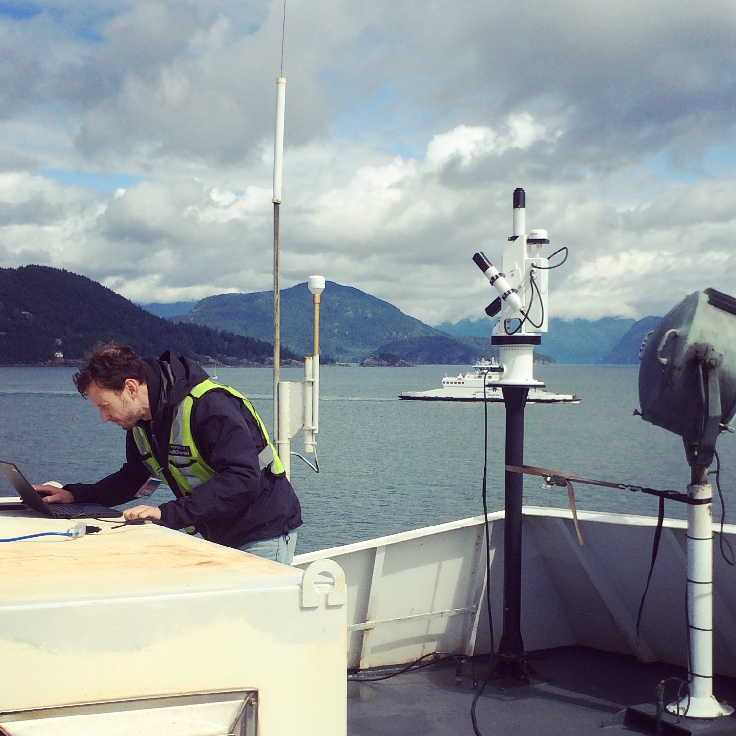
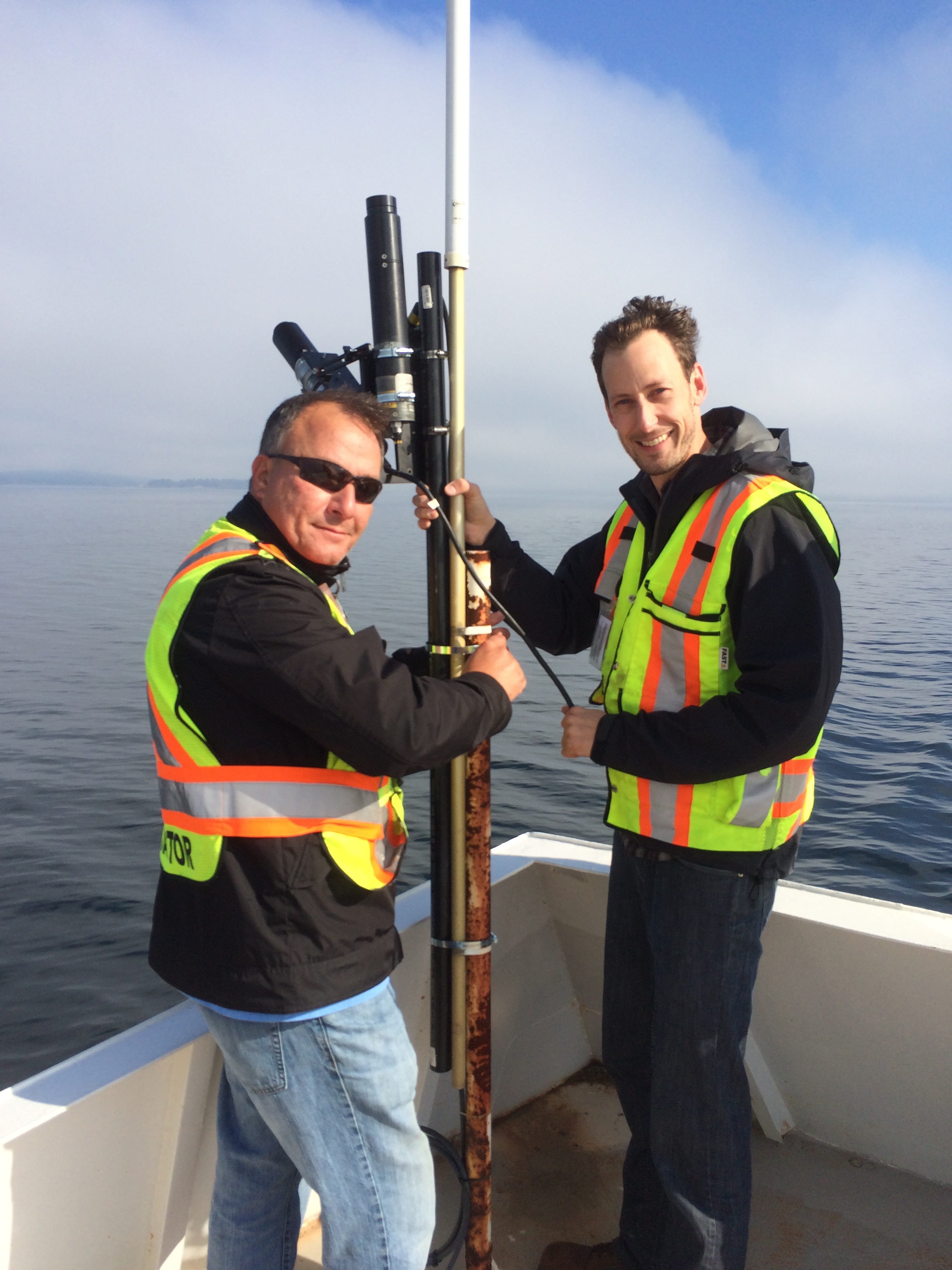
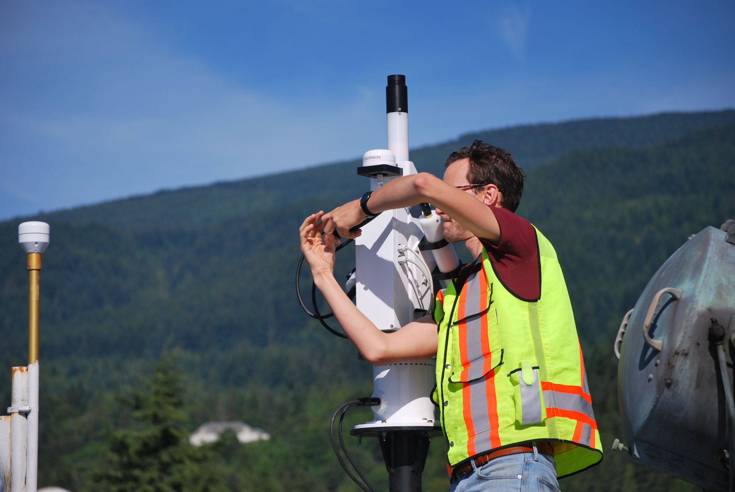
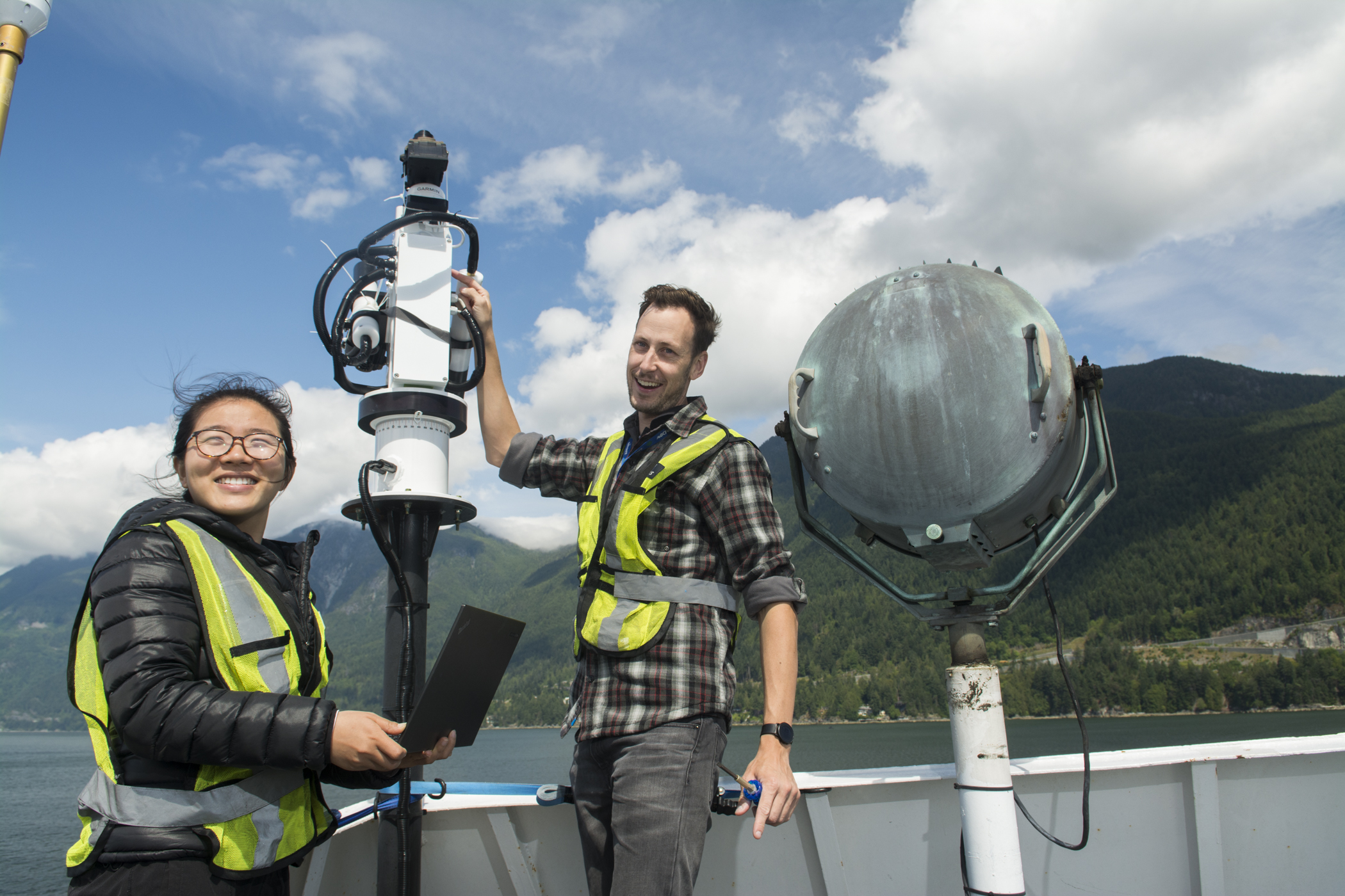
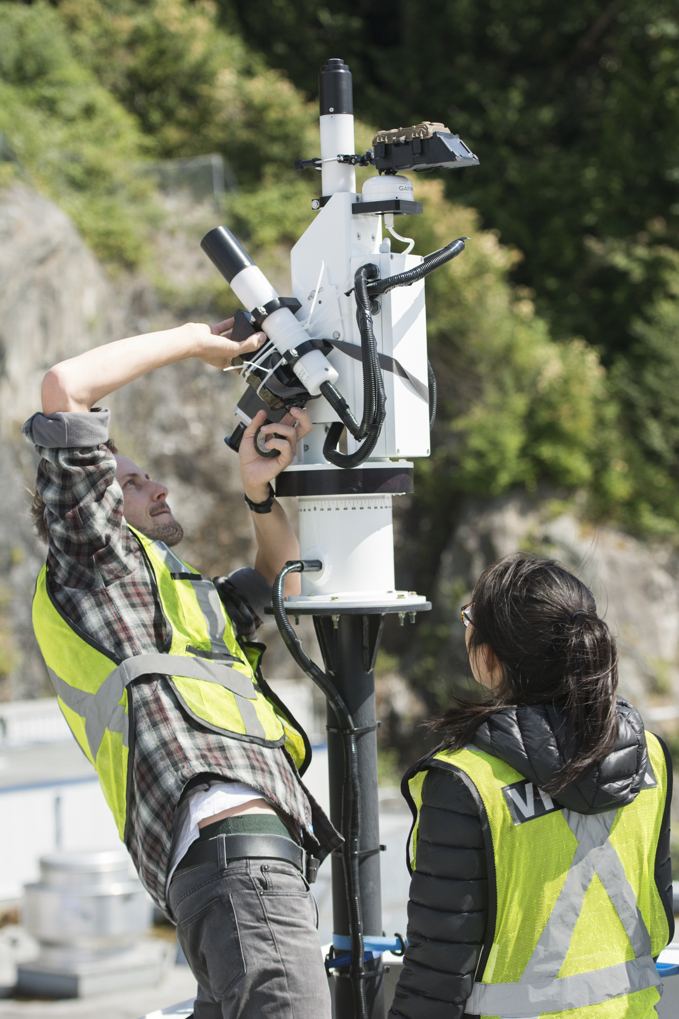
FOCOS:  Ferry Ocean Colour Observation Systems (Current Project).  I'm currently involved with a new project that builds on my research with two permanent ocean colour monitoring stations installed on two ships of opportunity.  Through various partnerships this project will see two fully automated radiometric ocean colour instruments installed on two BC Ferries, one of which is now in operation.  In conjunction with Ocean Networks Canada this project presents a unique opportunity to combine resources and provide valuable and accurate ocean colour data that will be used to better understand the health of our coastal ecosystem.  As lead project coordinator I'm responsible for the successful deployment of these new systems, which are the first of their kind to go into full time operation in Canada.  

Yuyan Yang

Lab Assistant, MSc Student

MSc Student in statistics  

Research:

Yuyan's project focused on acquiring data from the BC ferries using citizens for science as part of the FOCOS project.  She used this information to statistically compare and test the data for accuracy.

Nathan Vandenberg

Lab Assistant, MSc Student

MSc in Computer Science

Research:

Nathan has a background in databases, data mining, and machine learning.  For his thesis, Nathan worked on a program that processes data from optical instruments and tablets installed on the BC ferries as part of the FOCOS program.  His integral role in this program ensured that data was cleaned for quality control and output into a format that was useful for further analysis. 

Nick Komick

MSc Alumni

MSc Geography

Research:
The focus of my research was a temporal and spatial analysis of chl in the Strait of Georgia.  To perform this analysis, imagery from MODIS was employed.  An intermediate step included producing a set of algorithms adapted specifically to the conditions in the coastal waters of the SoG. This allows a better understanding of relationships, triggers, and constraints in both space and time between chl and suspended sediment concentrations.  Identifying these temporal and spatial properties is important in a more complete understanding of the ecosystem in the SoG.

Laurie Gallagher

MSc Alumni

MSc Geography

Laurie's thesis project evaluated the use of remote sensing to retrieve the optical and geochemical properties of inland and coastal waters. Traditionally, water quality sampling involves in-situ measurements as well as the collection of water samples for subsequent laboratory analysis. These methods are time intensive and expensive and do not provide a spatial or temporal view of water quality. The use of remote sensing provides the potential for less expensive analysis of water quality and allows an evaluation of the spatial and temporal distribution of water components using aircraft-based and/or satellite-based sensors


Christiaan Piller

MSc Alumni

MSc Geography

Optical remote detection of surface water quality for open ocean waters has been ongoing since the 1960’s.  This method of detection is much more challenging and not yet standard practice for the more optically complex inland and coastal waters.  My research project dealt with the investigation of the potential application of airborne hyperspectral sensors to detect water quality in the Cowichan watershed, on Vancouver Island, BC.  Lake Cowichan and Cowichan Bay, both apart of the watershed, have been examined as the inlands and coastal water bodies, respectively.