Karyn Suchy

Post Doctoral Researcher
PhD Biology (University of Victoria)  
BSc, MSc Zoology (University of Manitoba)

Contact | Thesis

Research Areas:
My broad interests are in zooplankton ecology and biological oceanography. For my PhD research, I determined how short-term variations in food quantity, food quality, and primary productivity influence zooplankton communities in coastal marine ecosystems on the west coast of Canada and in the tropical waters of Guanabara Bay, Brazil. The main goal of my postdoctoral work is to investigate the level of synchrony between phytoplankton and zooplankton phenology in the Salish Sea. Time-series data for phytoplankton will be derived from various sources (satellite imagery, buoy data, ferry data, citizen science data, and research cruise data) and then coupled with historical and present zooplankton data. By looking at long-term spatial data of phytoplankton and zooplankton, we can identify their response to different climate drivers (e.g. SST, wind) and global climatic indices. Ultimately, changes in the seasonal patterns of these lower trophic levels will provide insight into their influence on the growth, survival, and overall return strength of salmon populations in the region.

Ziwei Wang

PhD. Student

PhD Candidate in Geography, University of Victoria
MSc Planetary Geology, China University of Geosciences, Wuhan
BSc Geology, China University of Geosciences, Wuhan
Contact

I received my master’s degree in planetary remote sensing at the China University of Geosciences (Wuhan). 

I have come to UVic for my PhD studies at the Spectral Lab and will be focusing on ocean remote sensing.  

Research Project

For my PhD research I will collecting in situ optical and biogeochemical samples of the surface waters in the Salish Sea using an instrumented BC Ferry and relate this information to data acquired by our autonomous radiometer systems.  More information about my project can be found here.  

Vishnu P S

Vishnu_pic.jpg

PhD in Geography, University of Victoria
MSc Environmental Science and Disaster Management, Mahatma Gandhi University, Kottayam, Kerala, India
BSc Physics, Kuriakose Elias College, Mannanam, Kerala, India

For my PhD, I worked with Sentinel-3 imagery to develop regional remote sensing algorithms to define phytoplankton phenology and groups, especially harmful algae along the Strait of Georgia and southeast Alaska.  

Research Interests:

  • Bio-optical studies of coastal waters

  • Remote sensing of phytoplankton functional types

  • Optical properties of Algal blooms

  • Developing remote sensing algorithm for coastal waters

Research Experience:

  • Junior Research Fellow in ISRO-SAC funded project entitled “Modeling bio-geochemical cycles in coastal oceans” in the Dept of Marine Biology, Microbiology and Biochemistry, School of Marine Science, CUSAT from 12-2-2014 to 12-02-2016.

  • Senior Research Fellow in ISRO-SAC funded project entitled “Modeling bio-geochemical cycles in coastal oceans “in the Dept of Marine Biology, Microbiology and Biochemistry, School of Marine Science, CUSAT from 13-2-2016 to 31-03-2018.

Conference/Poster Presentations:

  • P.S. Vishnu, S.P. Tiwari, S.S. Shaju, Mohamed Hatha, Nandini Menon, A. Mohandas. “Evaluation of Empirical and Semi Analytical Downwelling Diffuse Attenuation Coefficient Models along the Coastal Waters off Cochin”. Presented a poster at the second International Symposium ‘SAFARI 2’ on Remote Sensing for Ecosystems Analysis and Fisheries held between January 15-17 2018 at Central Marine Fisheries Research Institute (CMFRI), Kerala, India.

  • Vishnu P S., Shaju S S., Nashad M., Ajith Joseph C., Mini Raman., Nandini Menon., Mohamed Hatha., Mohandas A. Seasonal variability in Bio-optical properties along the Coastal Waters off Cochin. Presented a poster at the “International Ocean Color Science (IOCS) 2017, Meeting”, in Lisbon, Portugal, from 15-18th May 2017.

  • Vishnu P S., Shaju S S., Nashad M., Nandini Menon., Mohamed Hatha., Ajith Joseph c., Mini Raman. Study of light absorption coefficient of phytoplankton and other optically active components in the coastal waters off Cochin. Presented a poster at the International conference “Towards a sustainable Blue Economy” in Kochi from 4-6 February 2016.

  • Chithra Chandran., Nashad M., Vishnu P S., Nandini Menon. Bloom of Fragilariopsis sp. in the coastal waters off Cochin, Kerala, South west coast of India – Presented a poster at the World Ocean Science Congress, Kochi from 5-8th February 2015.

Publications:

  • P.S. Vishnu, S.S. Shaju, S.P. Tiwari, Nandini Menon, M. Nashad, C. Ajith Joseph, Mini Raman, Mohamed Hatha, M.P. Prabhakaran, A. Mohandas. 2017. Seasonal Variability in Bio-optical Properties along the Coastal Waters off Cochin. International Journal of Applied Earth Observation and Geoinformation 66. 184-195 https://doi.org/10.1016/j.jag.2017.12.002.

  • Shaju S.S, Sreekutty C. Prasad, Vishnu P.S., Amir Kumar Samal, Nandini Menon, Nashad M, K.A Mathew, A.K Abdul Nazar and Grinson George (2017). “Variability in phytoplankton specific absorption coefficients and remote sensing reflectance at a cage mariculture site during bloom’’ is under revision in the journal of ‘’Regional Studies in Marine Sciences’.

  • Soumya Krishnankutty, Ajith Joseph, C., Vincent, P.D., Jabir, T., Vishnu, P.S., Saramma, A.V. and A.A. Mohamed Hatha (2017). ‘’Hydrography, Seasonal Diversity, Distribution and Abundance of Phytoplankton in Coastal Waters off Cochin - Southeastern Arabian Sea’’ is accepted in ‘’Indian Journal of Geo-Marine Science’’.

Andrea Hilborn

MSc Student

MSc in Geography
BSc Major in Geography, Minor in Mathematics (University of Victoria)
Contact

Research Areas:
ocean colour remote sensing, atmospheric corrections, multi-satellite time series, geospatial analysis

Thesis Project:
My master's project extends the local atmospheric correction from MODIS Aqua to the Suomi-NPP VIIRS sensor in order to identify phytoplankton bloom phenology throughout the Salish Sea. 

We are excited to have partnerships with the Pacific Salmon Foundation, MITACS and MEOPAR to help make this possible!

Publications and Presentations:

Contributor: Geomorphic and geologic controls of geohazards induced by Nepal’s 2015 Gorkha earthquakeScience 2015.

Affiliations:

Mitacs
MEOPAR
Pacific Salmon Foundation
Salish Sea Marine Survival Project
Ocean Networks Canada
Science Venture, University of Victoria
University of Victoria Campus Community Garden

Sarah Schroeder

Lab Technician, USRA

PhD Candidate in Geography, University of Victoria
MSc Geography, University of Victoria
BSc Biology, University of Victoria


In summer 2016, we acquired two satellite images covering Cowichan Bay and the Gulf Islands, at the same time that three groups of volunteers from Pender Island Conservancy, Mayne Island Conservancy, and Cowichan land trust led by Leanna Boyer from Sea Change mapped the exact location of kelp beds using kayaks and GPS. From this data we are able to ground truth what we define as kelp in the satellite images.


In the spring and summer of 2017, in situ surveys of kelp beds were conducted to understand how juvenile salmon from the Cowichan River use kelp bed habitats as they migrate north.

Snorkel survey and remote underwater video was used to compare the use of kelp beds to adjacent no kelp habitat.


Hana Travers-Smith

HanaTS_pic.JPG

Lab Assistant / Honors Student
Undergrad, BSc Major in Geography & Minor in Statistics, University of Victoria   

I am helping with field work on the BC ferries this summer and starting an honours project in the fall. My project will be examining different methods to correct non-photochemical  quenching of chlorophyll measurements captured by an instrumented BC ferry.

Alex Skarzenski

A_Skarzenski_pic.jpg

Lab Volunteer
Undergrad, BSc Geography, University of Victoria     

I am volunteering at the lab doing exploratory optical research on herring spawns in the Salish Sea.

Natasha Nahirnick

MSc Student

MSc Student in Geography
BSc in Geography (Honours), concentration in Geomatics (University of Victoria)
Contact | Flickr

Research Areas:
Remote sensing, aerial photography, UAVs, Geographic Information Systems, nearshore and intertidal habitats, seagrass mapping, land/sea interactions, land use change, eutrophication and nutrient loading, fisheries, freshwater salmon habitats, environmental restoration.
  
Thesis Project:
Long-term aerial photographic mapping of eelgrass (Zostera marina) in the Salish Sea (1932-2016)
Using archived historic aerial photography and imagery captured by Unmanned Aerial Vehicle (UAV), I am working to assess seagrass distributions change in the Salish Sea, British Columbia from 1932-2016.
Click here for more information

Publications:

Awards:

  • NSERC Canada Graduate Scholarship – Master’s (2015)
  • UVic President’s Research Scholarship (2015)
  • Canadian Hydrographic Association Award (2013)

Reading List:

  • Following the Last Wild Wolves (McAllister, 2011)
  • Salmon: A Scientific Memoir (Isabella, 2014)
  • The Sea Around Us (Carson, 1951)

Stephen Phillips

Project Coordinator, MSc Alumni

Project Coordinator
MSc. Geography
BSc. Geography
BSc. Physics

ContactMSc. Thesis | LinkedIn

Research Areas: remote sensing, ocean colour, algorithm development, optical equipment, spatial analysis, ocean dynamics.

Research Projects:

Salish Sea:  My graduate research project looked at the spatio-temporal optical and biogeochemical dynamics of the Salish Sea on the west coast of Canada.  Using an optical classification method I sub-regionalized the optical properties of this coastal region and used this information to parameterize satellite chlorophyll-a models with improved accuracy.  My project focused on the MODIS-Aqua and Sentinel-3 ocean colour sensors.  This outcomes of my research were to provide more accurate remotely sensed Chlorophyll-a data for an ecosystem based approach to effectively monitor the health of the Salish Sea.   

Amazon:  In the fall of 2014 I had the opportunity to be a project coordinator and researcher on the Cruizeiro do Sul, Research Cruise in Belém, Brazil.  This project focused on understanding the optical dynamics of the Amazon River Plume as it migrates out into the tropical Atlantic.  Using similar optical instrumentation and methods developed in the Salish Sea this was a great opportunity to apply and test my research in a new oceanic environment.  

FOCOS:  Ferry Ocean Colour Observation Systems (Current Project).  I'm currently involved with a new project that builds on my research with two permanent ocean colour monitoring stations installed on two ships of opportunity.  Through various partnerships this project will see two fully automated radiometric ocean colour instruments installed on two BC Ferries, one of which is now in operation.  In conjunction with Ocean Networks Canada this project presents a unique opportunity to combine resources and provide valuable and accurate ocean colour data that will be used to better understand the health of our coastal ecosystem.  As lead project coordinator I'm responsible for the successful deployment of these new systems, which are the first of their kind to go into full time operation in Canada.  

Yuyan Yang

Lab Assistant, MSc Student

MSc Student in statistics  

Research:

Yuyan's project focused on acquiring data from the BC ferries using citizens for science as part of the FOCOS project.  She used this information to statistically compare and test the data for accuracy.

Nathan Vandenberg

Lab Assistant, MSc Student

MSc in Computer Science

Research:

Nathan has a background in databases, data mining, and machine learning.  For his thesis, Nathan worked on a program that processes data from optical instruments and tablets installed on the BC ferries as part of the FOCOS program.  His integral role in this program ensured that data was cleaned for quality control and output into a format that was useful for further analysis. 

Rick May

Lab Assistant

Lab Assistant

Profile coming soon

Felipe Lobo

PhD Geography
MScin Remote Sensing (INPE, Brazil)
BSc in Biology (University of Sao Paulo, Brazil)
lobo@uvic.ca

Research Areas:
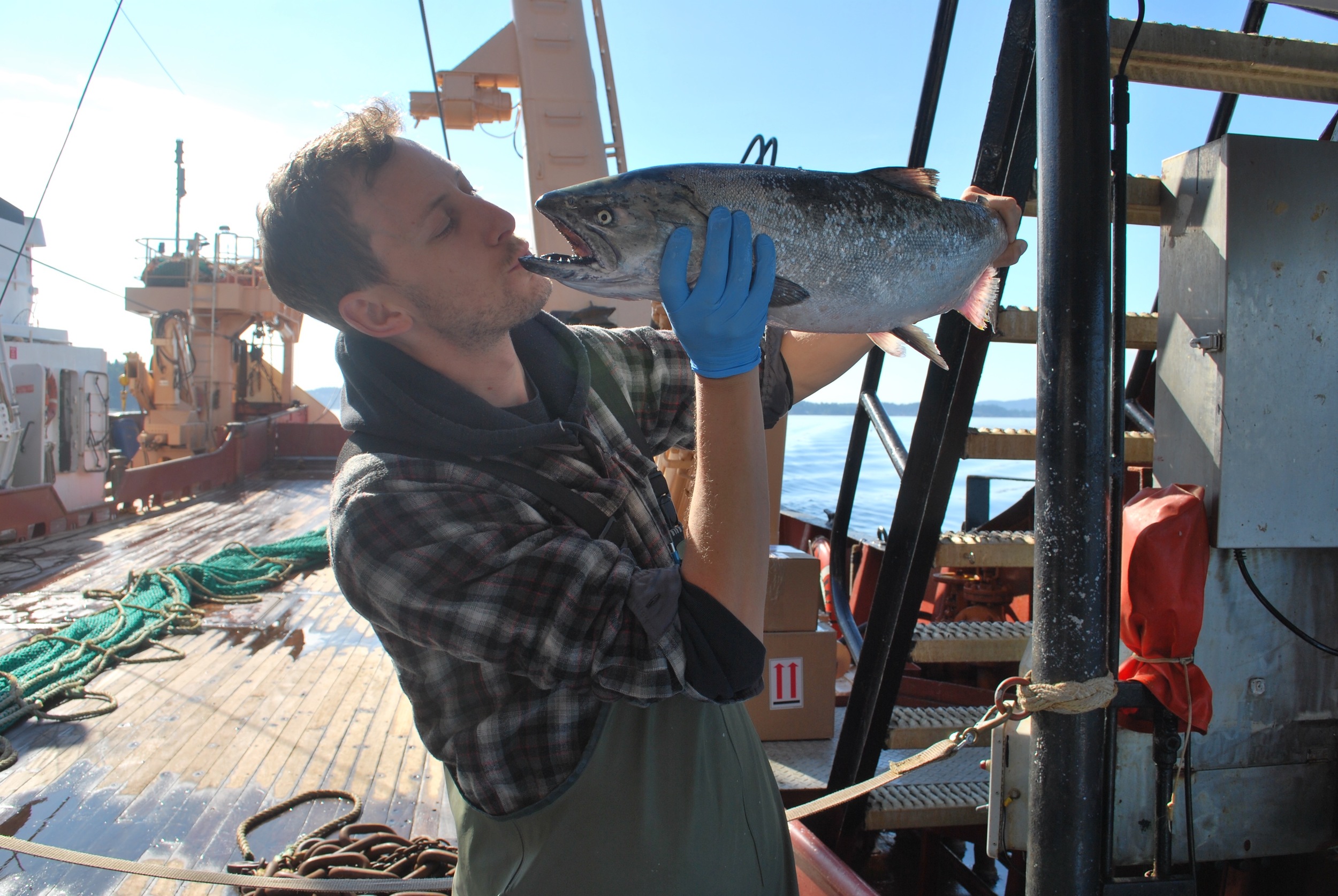
Remote sensing, water quality, land cover changes, water management, optical modeling

Motivation and background:
Regarding the extreme importance of freshwater for human beings and for ecosystem balance, and the fact the such resource has been threaten by human activities such as deforestation, mining and wastewater loading, I’m interested in manage the freshwater resource using remote sensing and GIS techniques.I took my undergrad in Biology at University of São Paulo (Brazil) where I had the opportunity to be introduced to limnology concepts and study the impacts of coal mining in a southern Brazilian watershed. In 2007 I started a Master’s in Remote Sensing at National Space Research Institute (INPE-Brazil), supervised by Dr. Evlyn Novo, to establish a water spectral library used to classify the Amazon water types using hyperspectral satellite images. After a PhD degree at the Geography Department in University of Victoria I am taking a Post-Doctoral research at INPE looking at optical properties of cyanobacteria for monitoring algal blooms.

PhD Research: (Click here for download full PhD Dissertation)
The PhD project aimed to evaluate the impacts of small gold mining activities in a large Amazon watershed called Tapajós. This area has been mined for more than 30 years which result in high sediment load into the river and its affluents. Such impact has changed not only the water quality but also decreased the light available for photosynthesis, in other words increased the light attenuation. The light attenuation has severe consequences for aquatic ecosystems such as phytoplankton mass decreasing, fish community shift and so on.To evaluate the small gold mining impacts on Tapajós watershed, the project was split in three main objectives/activities:
 
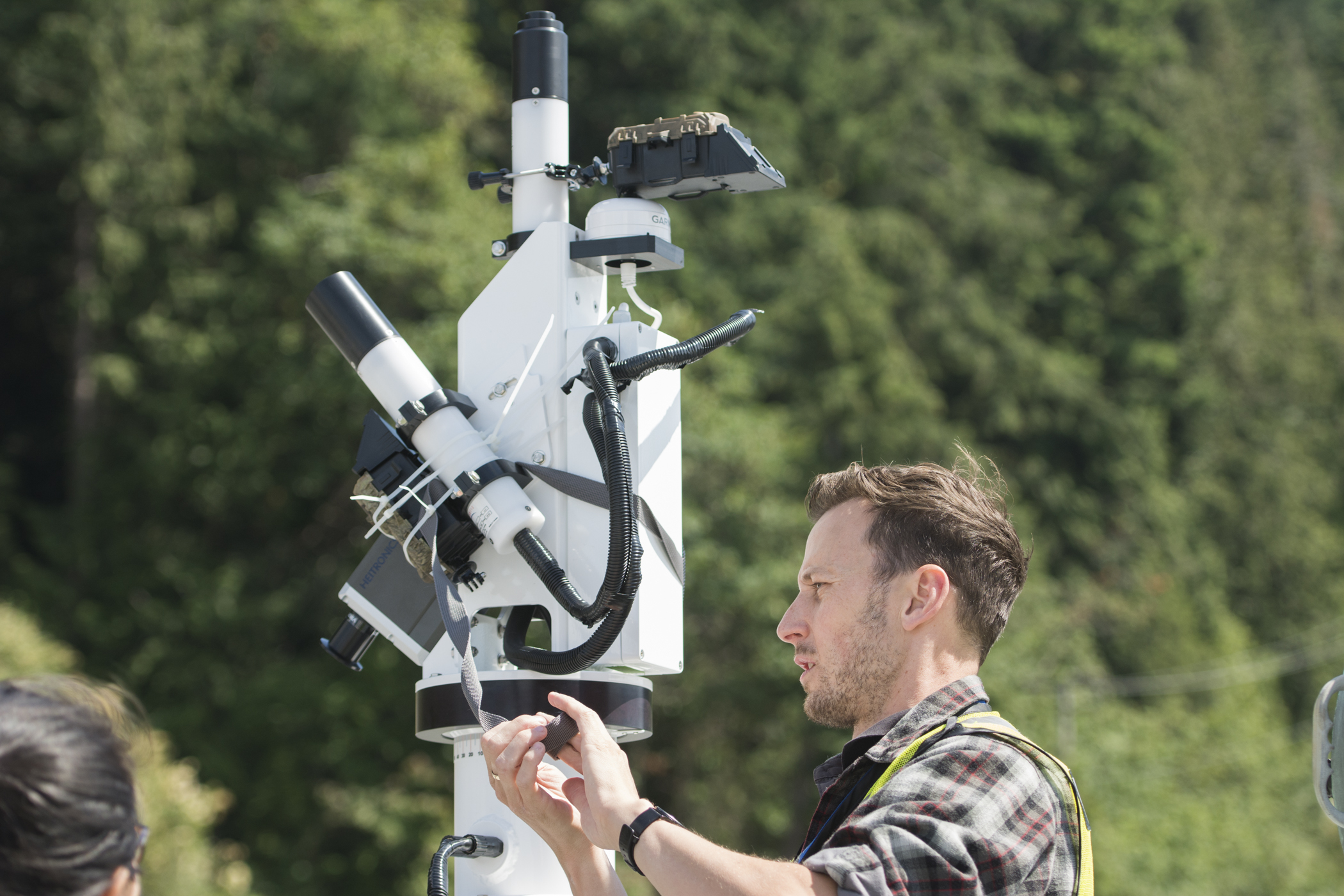
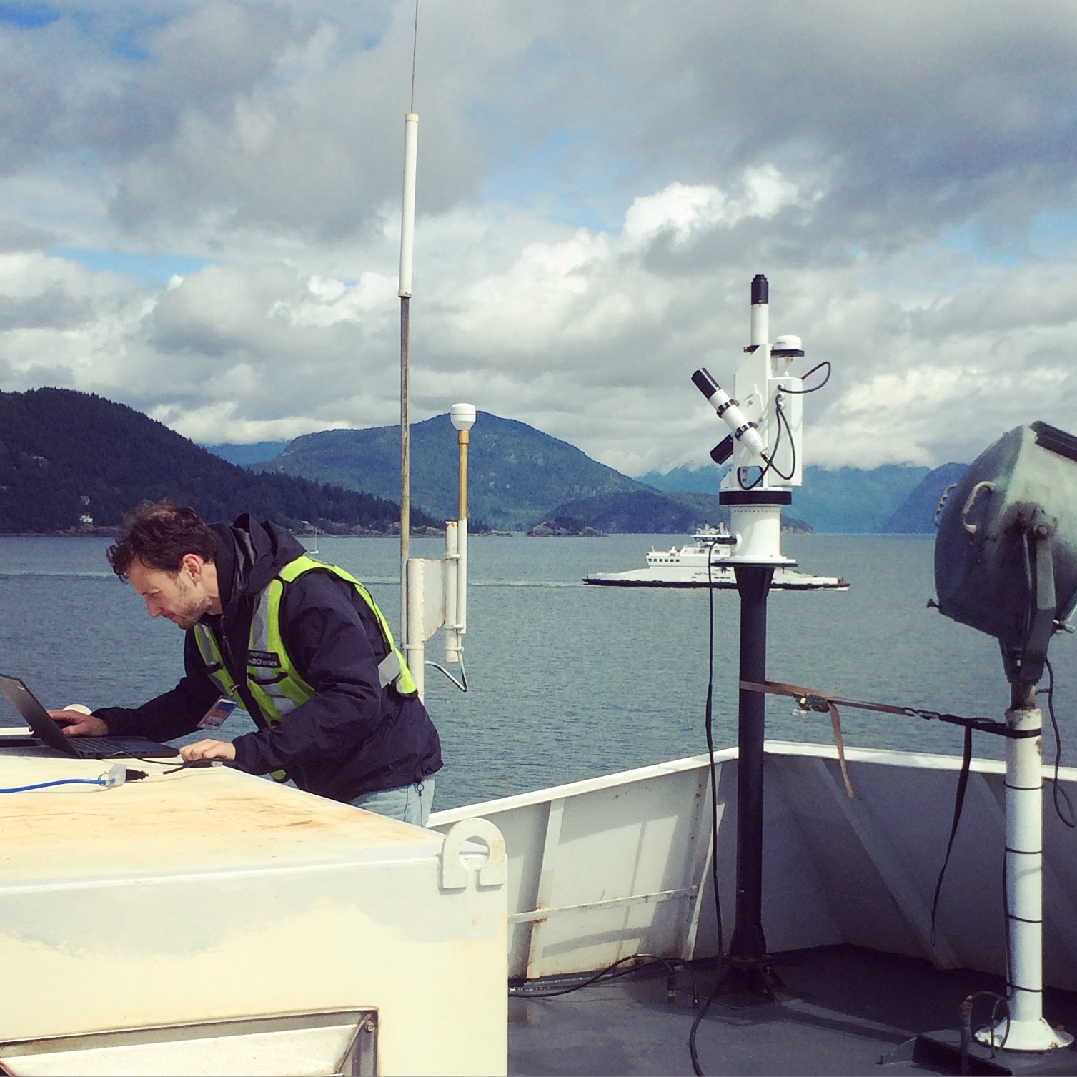
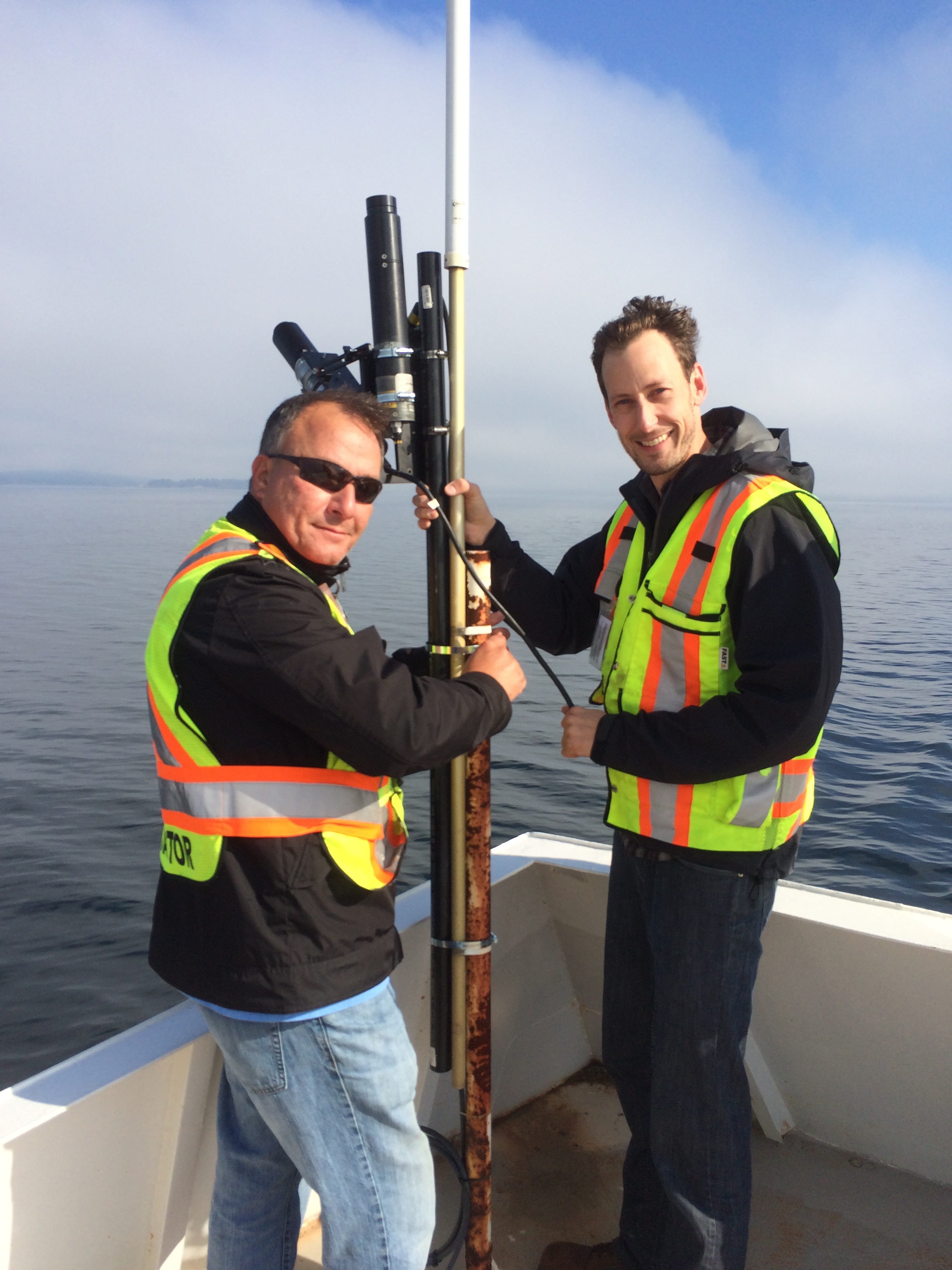
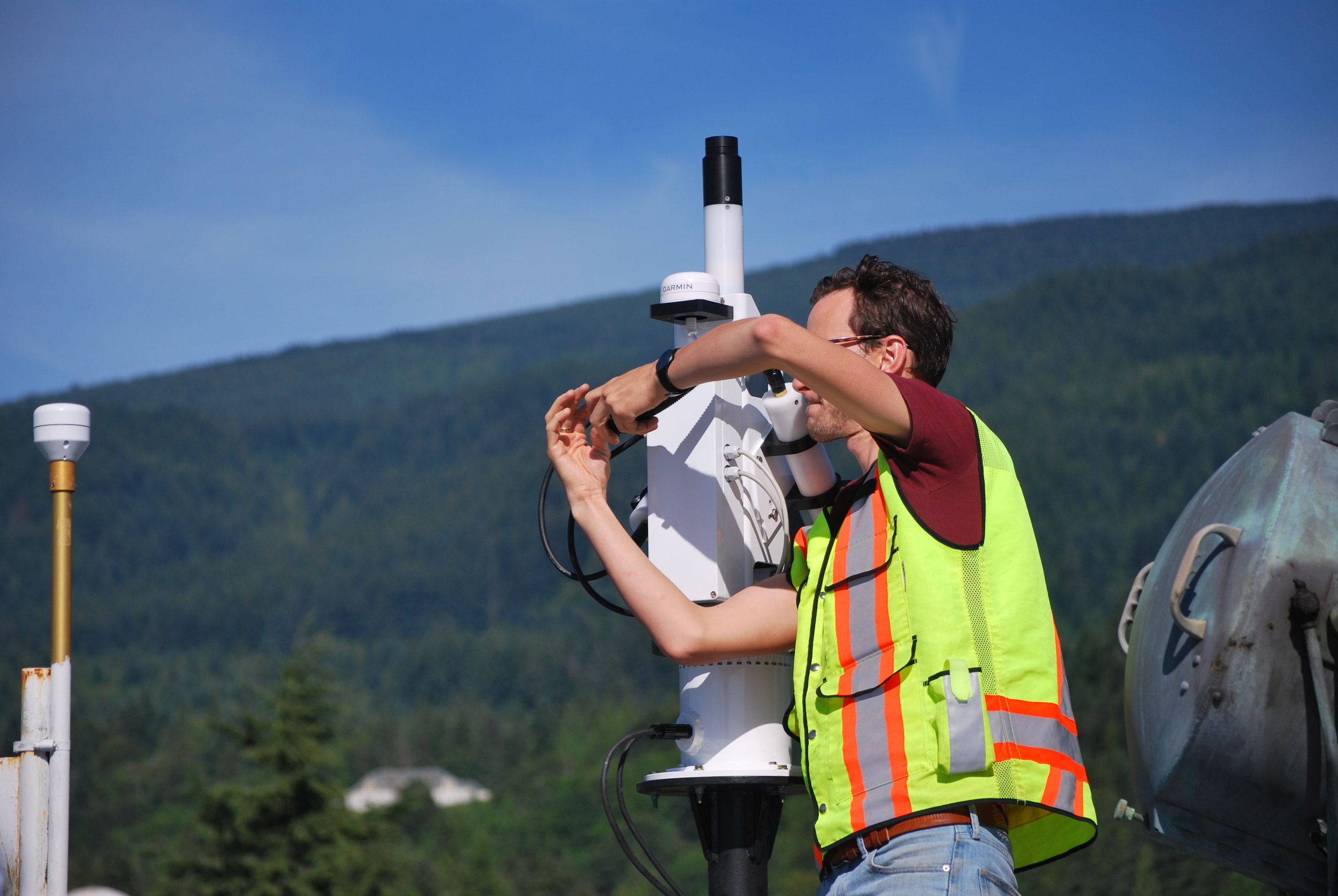
1. Measuring and describing the underwater light field in both impacted and pristine rivers;
 
2. Mapping the water quality changes using satellite images (Landsat database) in multi-temporal analysis; 
 
3. Integrating physical, biological and social information into a GIS environment to understand the main aspects that have driven gold mining activities in that area.
 
Publications

Book Chapters

Felipe de Lucia Lobo, Maria Isabel Sobral Escada, Claudio Aparecido de Almeida: Análise do desflorestamento no distrito florestal sustentável da br-163, PA.. Distrito Florestal Sustentável da BR-163: dinâmicas sociais, mudanças ambientais e produção florestal, 1 edited by Ana Luisa Albernaz, 03/2015: chapter Parte 2: pages 464; Museu Paraense Emílio Goeldi., ISBN: 978-85-61377-68-7

Marcelo Pompêo, Pedro Kawamura, Viviane Moschini-Carlos, Sheila Cardoso da Silva, Felipe de Lucia Lobo, Patrícia do Amaral, Marisa Dantas Bitencourt, Sergio Tadeu Meirelles: HETEROGENEIDADE ESPACIAL HORIZONTAL DA QUALIDADE DA ÁGUA NO RESERVATÓRIO RIO GRANDE, COMPLEXO BILLINGS, SÃO PAULO, BRASIL. Ecologia de reservatórios e interfaces, Edited by Marcelo Pompêo, Viviane Moschini-Carlos, Paula Yuri Nishimura, Sheila Cardoso da Silva & Julio Cesar López-Doval, 03/2015: chapter Chapter 6: pages 82-95; Instituto de Biociências da Universidade de São Paulo., ISBN: 978-85-85658-52-6

Cláudio Almeida, Maurício Silva, Felipe de Lucia Lobo, Taise Farias Pinheiro, Alessandra Gomes, Lidiane Cristina Costa, Maria Isabel Sobral Escada: TerraClass: classificação dos padrões de uso e cobertura da terra da Amazônia Legal. Cenários para a Amazônia: clima, biodiversidade e uso da terra, 1 edited by Thaíse Emílio, Flávio Luizão, 01/2014: chapter 12: pages 137-148; INPA., ISBN: 978-85-211-0126-0

Maria Isabel Sobral Escada, Felipe de Lucia Lobo, André Augusto  Gavlak, Érika Akemi Saito, Taise de Farias Pinheiro, Maurício Silva, Cláudio Almeida: Padrões espaciais e trajetórias populacionais e de uso e cobertura da terra nas áreas de endemismo Xingu e Tapajós. Cenários para a Amazônia : clima, biodiversidade e uso da terra, 1 edited by Thaise Emilio, Flávio Luizão, 01/2014: chapter 6: pages 67-78; INPA., ISBN: 978-85-211-0126-0

Journal Publications

Felipe L. Lobo, Maycira P. F. Costa, Evlyn M. L. M. Novo: Time-series analysis of Landsat-MSS/TM/OLI images over Amazonian waters impacted by gold mining activities. Remote Sensing of Environment 07/2014; 157. DOI:10.1016/j.rse.2014.04.030

Felipe L. Lobo, Maycira Costa, Stephen Phillips, Erika Young, Cory McGregor: Light backscattering in turbid freshwater: A laboratory investigation. Journal of Applied Remote Sensing 03/2014; 8:083611-083611. DOI:10.1117/1.jrs.8.083611

Felipe de Lucia Lobo, Evlyn Márcia Leão de Moraes Novo, Claudio Clemente Faria Barbosa, Lênio Soares Galvão: Reference spectra to classify Amazon water types. International Journal of Remote Sensing 06/2012; 33(11-11):3422-3442. DOI:10.1080/01431161.2011.627391

Viviane Moschini-Carlos, Marcelo Luiz Martins Pompêo, Felipe de Lucia Lobo, Sergio Tadeu Meirelles: Impact of coal mining on water quality of three artificial lakes in Morozini River Basin (Treviso, Santa Catarina State, Brazil). 09/2011; 23(3):271-281. DOI:10.1590/S2179-975X2012005000007

Felipe L. Lobo, Claudio Clemente Barbosa, Evlyn Márcia Leão de Moraes Novo, João Sarkis Yunes: Mapping potential cyanobacterial bloom using Hyperion/EO-1 data in Patos Lagoon estuary.

 
Collaborative Research Projects (Co-PI of projects):

Brazilian National Institute for Space Research (INPE)
Chico Mendes Institute (ICMBio)
The National Council for Scientific and Technological Development (CNPq)
The State of Sao Paulo Research Foundation (FAPESP)

Eduardo Loos

PhD Alumni

BASc, MSc, PhD


Research:
My research focused on the detailed investigation of the light field in the water column with the purpose of enhancing our understanding of the interaction between electromagnetic radiation and ocean water constituents. These constituents included: photosynthetic pigments, inorganic suspended matter, and chromophoric dissolved organic matter. The Strait of Georgia, British Columbia, Canada was chosen as the study area due to its proximity, oceanographic complexity and lack of similar studies. This research provided new scientific data on the optical oceanographic characteristics of the area under the influence of the Fraser River plume.